From the Pannonian Sea to the breadbasket of Slovenia
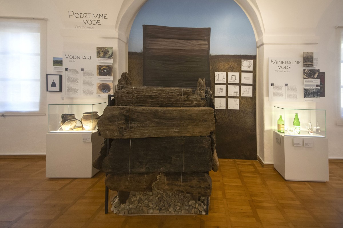
The rivers flowing in the region gradually filled the Pomurje area with sediments deposited in the former Pannonian Sea, creating the geology we see today. This consists of the sand and gravel silt of the Mura, limestone and calcareous sandstone in the hilly areas, and there are also traces of volcanic activity. Older geological layers store fossil fuel reserves, while thermal and mineral water is obtained from the earth's crust.
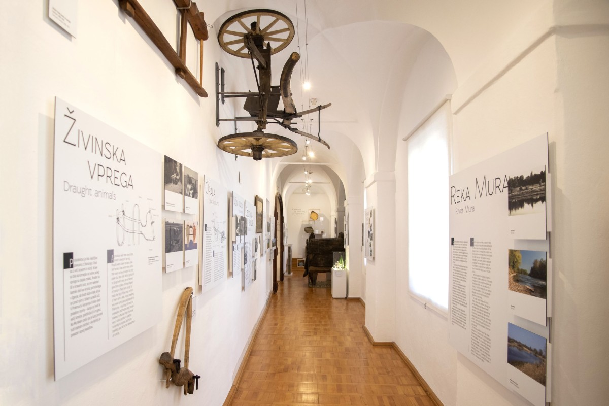
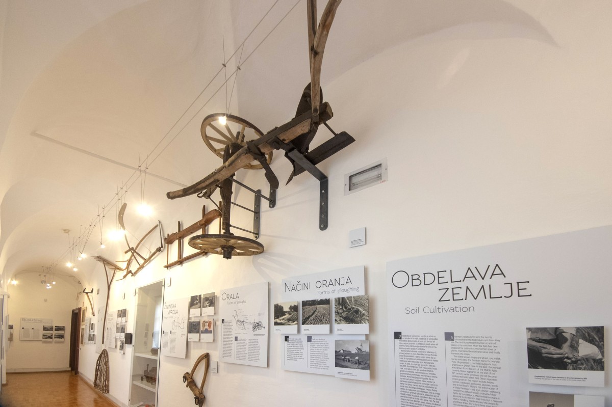
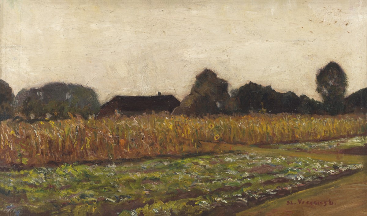
There are vineyards on the steeper slopes of the areas of Slovenske gorice, the Goričko National Park and the Lendava ridges. The valley bottoms, the flatter slopes and the wide plain landscape are used for arable farming. Woods are found on the flood plain along the Mura, with some forest areas inland. People work the land by hand, animal-drawn carts or machines, using a variety of techniques and tools. The cultivation of the land culminates in the harvesting of the fields, vineyards, and plantations.
The Mura River is one of the richest ecosystems in Central Europe. People have exploited its fish wealth, connected its banks with bridges, crossed it with ferries, built mills along it, and the river is present in mythology and literature.
Photo in the banner advert: Bundles on field, Ludvik Vrečič, before 1940 (photo: Tomislav Vrečič)